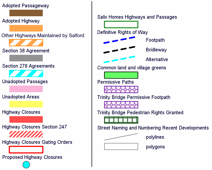
Click on the map below to find out further information; including details of highway status, schools, parks, recycling centres, recent planning applications and more. For help with, or questions about, specific map layers click the small ![]() icon in the layer list.
icon in the layer list.
Use the buttons in the top corners to:
 Zoom in or out
 Search for an address
 Print the current map view
 Switch the map to full screen
 Change what information you can see on the map
 Click on any of the map features and information on them will appear on the screen. Click on
 ![[+]](//map.salford.gov.uk/icons/plus.png) to expand the boxes.
to expand the boxes.
This data is a snapshot taken at the date of extraction and may change daily.

 Print the current map view
